

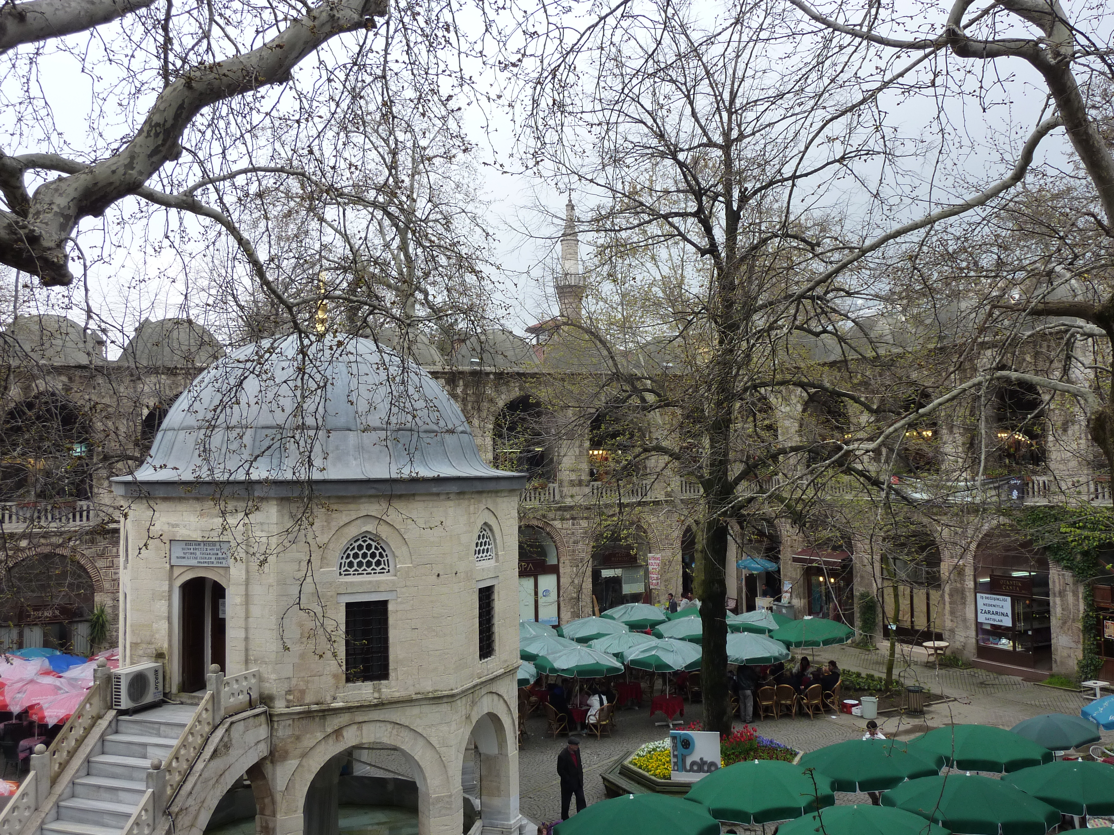
_2.jpg)
Publication Date: October 2026
Overview
- What: A historic center founded in Antiquity under the name Prusa [1], [6]. In its earliest era, it was home to the kings of Bithynia, an ancient kingdom that ruled over northwestern Anatolia [1]. It was also the first Ottoman capital [1], [6].
- Where: Located in the Southern Marmara section of the Marmara Region [1], [5]. It was established between the northwestern foothills of Mount Uludağ and the southern edge of the Bursa Plain [1], [5]. Its terrain is characterized by a sloping topography [1].
- Why it matters: It harbors a rich, multi-layered historical heritage [2], [3], [4], [6]. Hellenistic funerary architecture forms the earliest layers of this legacy [2]. Ancient stones salvaged as spolia from the Late Antique and Byzantine eras are integrated into its edifices [3]. It reflects a profound historical continuity extending from intercontinental trade networks to the mausoleums of the founding sultans [4], [6].
The imposing northwestern slopes of Mount Uludağ meet the vast plain along whose southern rim the city lies [1]. Across the centuries, the verdant expanses of this plain and the mountain foothills have intertwined here [1]. From past to present, the city has exhibited a natural pattern of expansion [1]. On one hand, it ascended toward the slopes; on the other, it descended into the fertile plain [1].
Since antiquity, Bursa has acquired a distinct and singular identity [1], [2]. It is among those rare urban centers that have successfully preserved the stratified layers of disparate epochs side by side across the same landscape [1], [2]. The settlement was established during the Hellenistic period, the post-Alexander era of the ancient Greek world [1]. Along its streets endure the physical traces of Eastern Rome and the early Ottoman era that succeeded it [1], [3]. The architectural and cultural heritage of these periods continues to coexist to this day [1], [3].
The tangible strata of the city extend from a hilltop citadel down into the expansive plain [1], [5]. Dressed stones, burial chambers, and venerable edifices convey the narratives of bygone eras to the modern day [2], [3]. In this way, every corner of the city presents its visitors with the enduring hallmarks of a different age [2], [3].
Where is it?
Bursa is a city situated in the Southern Marmara section of the Marmara Region [1], [5]. It also serves as the administrative center of the province bearing its name [1], [5]. The city was founded at the northwestern foot of Mount Uludağ [1]. It occupies a sloping position set between the base of the mountain and the southern border of the plain that shares its name [1].
According to geographical sources, a significant portion of the city is positioned across the lower-lying western terrain [1]. The urban fabric climbs toward the mountain slopes where the incline permits [1]. Concurrently, it descends toward the fertile floor of the plain [1].
The city stretches from east to west as a continuous urban corridor of roughly 8 kilometers between the southern margin of the Bursa Plain and the mountain’s skirts [1].
The Bursa Plain sprawling directly before the city is notably vast [5]. This plain spans an area of approximately 400 square kilometers [5]. Over a prolonged agricultural history, it achieved a vital regional importance [5]. In time, it evolved into an exceptionally productive center for fruit and vegetable cultivation [5].
However, Turkey’s first Organized Industrial Zone was established here [5]. This industrial district endowed the city with an entirely new identity [5]. Waves of external migration originating from the Balkans converged on the city [5]. Alongside domestic migration, the population surged rapidly [5]. Consequently, Bursa expanded into a metropolis exceeding one million residents [5].
As a consequence of this rapid urban expansion, the built environment broadened and encroached upon the plain [5]. More than half of this fertile plain was diverted to non-agricultural uses [5]. Industrialization and demographic growth exerted a direct environmental impact [5]. This dynamic generated soil, water, and air pollution, laying the groundwork for substantial ecological alterations across the local environment [5].
History & Origins
The city’s name in Antiquity was Prusa [1]. The contemporary name Bursa derives directly from this etymological root [1]. A widely accepted consensus exists regarding the founder of the settlement [1]. According to this view, the city was established by Prusias, one of the ancient kings of Bithynia [1]. Bithynia was an ancient kingdom situated east of the Sea of Marmara [1].
Other urban centers in the ancient world also bore the name Prusa [1]. To avoid ambiguity, the settlement was designated “Prusa ad Olympum” [1]. Owing to the ancient name of Mount Uludağ, this designation signifies “Prusa by Olympus” [1]. The exact date of the city’s initial foundation has not been definitively illuminated [1].
Certain historical sources record an intriguing detail regarding its foundation [1]. According to this account, the city was established through the initiative of the Carthaginian general Hannibal, who sought asylum with King Prusias in the late second century BCE [1]. Another view points to a considerably older settlement once occupying the site of the present-day citadel [1]. It is noted that the city was refounded upon this preexisting site by the Bithynian monarchs [1].
Following the defeat of Mithridates, King of Pontus, the city passed into Roman control [1]. Initially, it was annexed to the ancient administrative center of Nicomedia, corresponding to the modern vicinity of Kocaeli and İzmit [1]. Subsequently, during the reign of Emperor Trajan, a dedicated governor was appointed to the city [1].
Following the partition of the Roman Empire, the city remained within the domains of Eastern Rome [1]. During this epoch, it occasionally became the target of Muslim Arab armies and Turkish incursions [1]. Suleiman Shah, son of Qutalmish and conqueror of Anatolia, designated Nicaea (İznik) as his capital in 1080 [1]. Shortly thereafter, Suleiman Shah conquered Bursa [1].
Nicaea reverted to Byzantine control in 1097 [1]. Whether Bursa was also lost to the Byzantines during that juncture remains ambiguous in contemporary records [1]. However, Kilij Arslan I died in 1107 [1]. It is presumed that the city slipped from Turkish governance amid the dynastic succession struggles that erupted upon his death [1].
The city was retaken by Turkish forces in 1113 [1]. Shortly thereafter, however, Emperor Alexios Komnenos recaptured it [1]. From that point onward, the city remained under Byzantine imperial administration [1]. This status endured uninterrupted until the Ottoman conquests [1].
The Byzantine historian Pachymeres provides accounts of the situation around the year 1300 [1]. During this era, Turkish forces were expanding swiftly across western Anatolia [1]. Bursa was one of only three major fortress-cities remaining in Byzantine hands [1]. In 1308, the city forged an alliance with neighboring local Byzantine lords (tekfurs) [1]. In doing so, it sought to withstand the tightening Ottoman siege [1].
Growing rapidly during the early Ottoman period, Bursa became the political capital of the principality following its conquest [4], [6]. In the period preceding the conquest of Constantinople, the city established itself at the center of the trade networks linking Anatolia and Rumelia [4].
Simultaneously, it transformed into one of the most vital entrepôts of international commerce connecting the East and the West [4]. That is, it functioned as a major commercial transit hub where international goods were securely warehoused, protected, and distributed customs-free [4]. In that era, it was both a rival and a complement to Constantinople [4]. Indeed, by the middle of the fifteenth century, Bursa’s population approached that of Constantinople and at times surpassed it [4].
The sixteenth-century poet and antiquarian bookseller Mehemmed b. Ahmed (Şevkî Çelebi) served in the city during the reign of Sultan Suleiman the Magnificent [6]. Şevkî Çelebi assumed the office of guardian of the imperial tombs (türbedâr) [6]. He was responsible for the mausoleums of the dynasty’s founder, Osman Gazi (1299–1324), and his son Orhan Gazi (1324–1362) [6].
In his biographical work Menâkıb-ı Emîr Sultan, Şevkî Çelebi portrayed Emîr Sultan as the spiritual guardian of all Ottoman cities [6]. In the verses of his literary works, the poet openly expressed his disillusionment with the imperial trajectory of his era [6]. He voiced a profound nostalgia for the former splendor of Bursa as it had existed during the golden age of Sultan Bayezid I and Emîr Sultan [6].
Architectural Form
Bursa’s architectural character encompasses an extraordinarily rich fabric [2], [3]. This fabric ranges from subterranean Hellenistic tombs to early Ottoman monumental complexes (külliyes) [2], [3]. Within the city, structures dating to the Ottoman era have survived to the present day in a remarkably well-preserved state [2]. In contrast, archaeological data concerning the Hellenistic and earliest phases of the city remain quite limited [2].
Hellenistic Chamber Tomb
A rescue excavation was carried out approximately 400 meters east of the Hisariçi quarter, where the ancient city was originally founded [2]. This excavation was conducted in 1969 [2]. As a result of the work, an in situ chamber tomb was unearthed [2]. This structure holds major significance for the Hellenistic funerary architecture of the Bithynian region [2]. It constitutes the most tangible surviving early monument illustrating the burial customs of the city [2].
The Use of Spolia in Architecture
In numerous buildings of the early Ottoman era, architectural fragments salvaged from antiquity were incorporated through reuse [3]. These elements date to the Late Antique and Byzantine periods [3]. In architectural history, this practice is termed “salvaged material” or, by its original designation, “spolia” [3]. This method entails the repurposing in new constructions of prefabricated marble and stone blocks dismantled from ruined older buildings [3]. Masons either bonded these materials directly into the wall fabric with mortar or incorporated them as load-bearing structural members within the new monument [3].
A wide variety of architectural members were repurposed in these edifices [3]. Column capitals, column shafts, and column bases were employed throughout the buildings [3]. Cornice blocks along eaves and rooflines, as well as balustrade slabs, were likewise set into place [3]. Balustrade panels and marble barrier slabs separating the nave from the clergy’s sacred sanctuary in churches—known in architectural terminology as templon components—were also incorporated into these buildings [3]. Furthermore, ancient marble door frames were reused across various Ottoman structures as vertical side jambs flanking doorways and as horizontal lintels spanning the door openings [3].
Architectural and Material Characteristics of Door Frames
Notable monuments preserve these reused spolia door frames [3]. Chief among these is the Hüdavendigâr Mosque (1364/1365–1385), situated in the Çekirge district [3]. The Lala Şahin Pasha Madrasa (first half of the 14th century) within the citadel (Hisar) is another prominent example [3]. The Tomb of Hatice Sultan (first half of the 16th century), located near the Kaplıca Bathhouse, also features these frames [3].
These buildings incorporate vertical jambs flanking the portal openings [3]. Horizontal lintel blocks span the upper voids of the doorways, surmounted by crowning decorative cornices [3]. A total of twelve distinct molding profiles have been identified across these door frames [3]. A molding profile consists of stepped, concave, or convex carved contours incised into the stone surface to impart aesthetic depth and chiaroscuro [3]. These carved profiles are distinguished from one another by refined fillets, steps, and curvatures executed upon the stone by ancient stonecutters [3].
Comparative studies have evaluated these molding profiles and stone carving configurations [3]. Based on these analyses, a portion of these stones has been determined to date to the fifth and sixth centuries [3]. Another portion has been identified as originating from the Middle or Late Byzantine periods [3].
An examination of the stone types reveals a key material distinction [3]. In the vertical jambs and upper lintels of the Lala Şahin Pasha Madrasa, Gebze rudist limestone was utilized [3]. This stone is a regional variety of limestone containing fossilized remains of rudist bivalves that lived during ancient geological eras [3]. All other door frames, by contrast, were carved from the renowned Proconnesian marble quarried on Marmara Island in antiquity [3]. Proconnesos was the ancient name for Marmara Island in the Sea of Marmara [3]. It was a celebrated quarrying center that supplied high-quality, white and grey-veined stone across the entire Mediterranean and Byzantine realms [3].
Harita
Harita: © OpenStreetMap katkıcıları. Bu yazıda anılan bazı yapılar ve kendi yazıları:
- 1. Durak: Bursa Koza Han
- 2. Durak: Bursa Cem Sultan Türbesi
- 3. Durak: Sivrihisar Ulu Camii
- 4. Durak: Sivrihisar Âlemşah Kümbeti: Mermer Gövdeli ve Balık Kabartmalı İlhanlı Anıtı
- 5. Durak: Bursa Ulu Camii
- 6. Durak: Bursa Yeşil Cami: Erken Dönem Osmanlı Camisi
- 7. Durak: İznik Yeşil Cami: Erken Dönem Osmanlı Mirası
- 8. Durak: Edirne Selimiye Camii ve Külliyesi: Klasik Dönemin Zirvesi
Visiting Notes
When exploring the city, several historical zones can serve as primary focal points [2], [3]. The perimeter of the ancient citadel and the Hisariçi district stand as primary starting points [2], [3]. The Çekirge quarter and the environs of the Kaplıca Bathhouse can likewise be incorporated into itineraries for their wealth of historical monuments [3].
For those intending to visit the historic edifices and funerary complexes, verifying current visiting arrangements with official authorities prior to arrival is recommended [1], [2], [3], [4], [5], [6].
When walking through the city, the local topography should be kept in mind [1]. The terrain between the slopes of Mount Uludağ and the plain possesses a pronounced incline [1]. It is also essential to consider the city’s 8-kilometer linear stretch along its east-west axis [1]. Planning pedestrian routes in accordance with this physical layout and these spatial distances will ensure a well-structured visit [1].
References
- [1] BURSA - TDV İslâm Ansiklopedisi (https://islamansiklopedisi.org.tr/bursa)
- [2] PRUSA AD OLYMPUM’DAN (BURSA) BİR ODA MEZAR - International Journal of Social Inquiry (https://dergipark.org.tr/tr/pub/ijsi/article/438307)
- [3] Bursa’daki Osmanlı Yapılarının Geç Antik ve Bizans Dönemi Kapı Çerçeveleri - Art-Sanat (https://dergipark.org.tr/tr/pub/iuarts/article/1438408)
- [4] Bursa; XV. Asır Sanayi ve Ticaret Tarihine Dair Vesikalar - BELLETEN (https://dergipark.org.tr/tr/pub/ttkbelleten/article/1262758)
- [5] Ekolojik Yönleriyle; BURSA OVASI’NDA ARAZİ KULLANILIŞI VE ÇEVRESEL ETKİ DEĞERLENDİRMESİ / Ecological Aspects of Environmental Impact Assessment and Land Use of Bursa Plain - Doğu Coğrafya Dergisi (https://dergipark.org.tr/tr/pub/ataunidcd/article/30953)
- [6] Türbedar of the Ottoman Sultans: Şevkî Çelebi’s Nostalgia for the Bursa of Bayezid Han and Emîr Sultan — Fatih Bayram (https://doi.org/10.1163/9789004442351_007)
Stops along the Route (8)
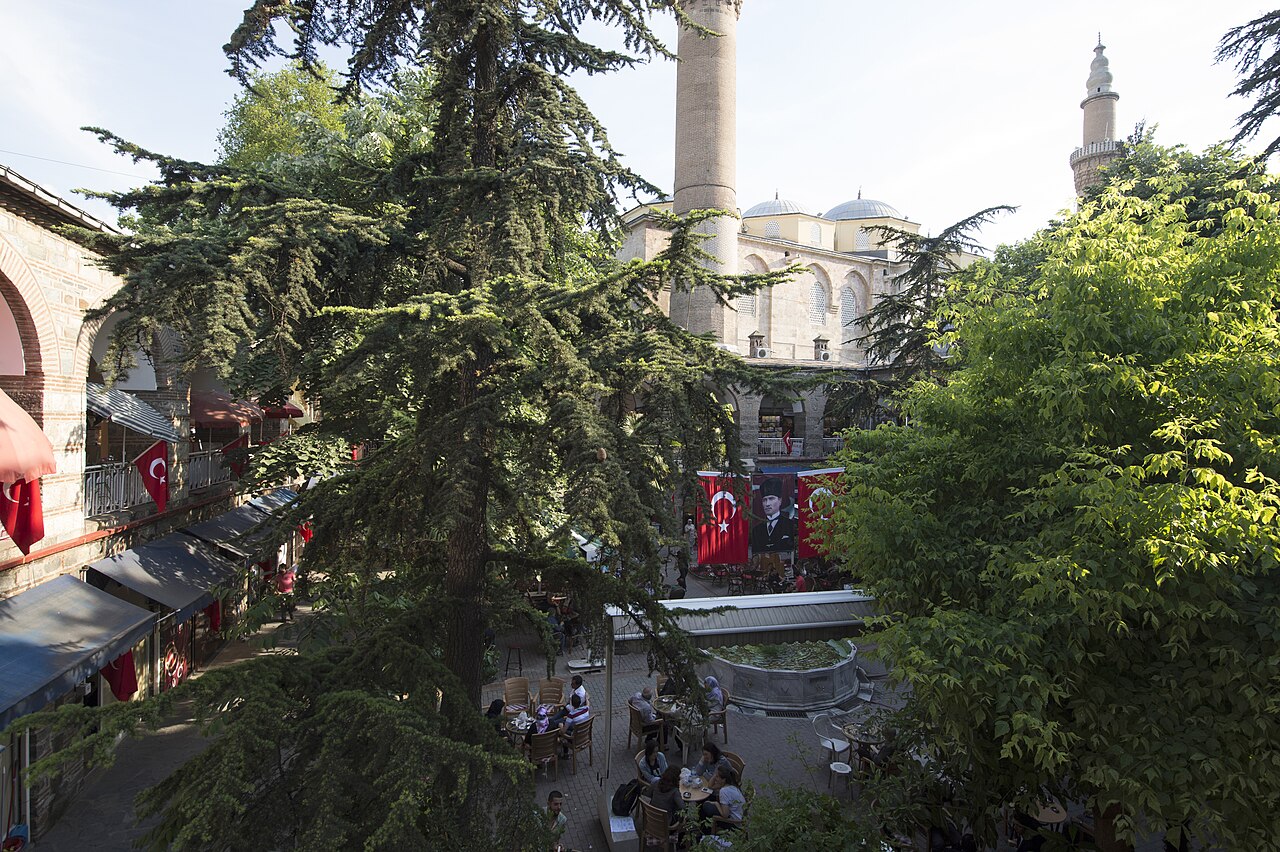
Bursa Koza Han
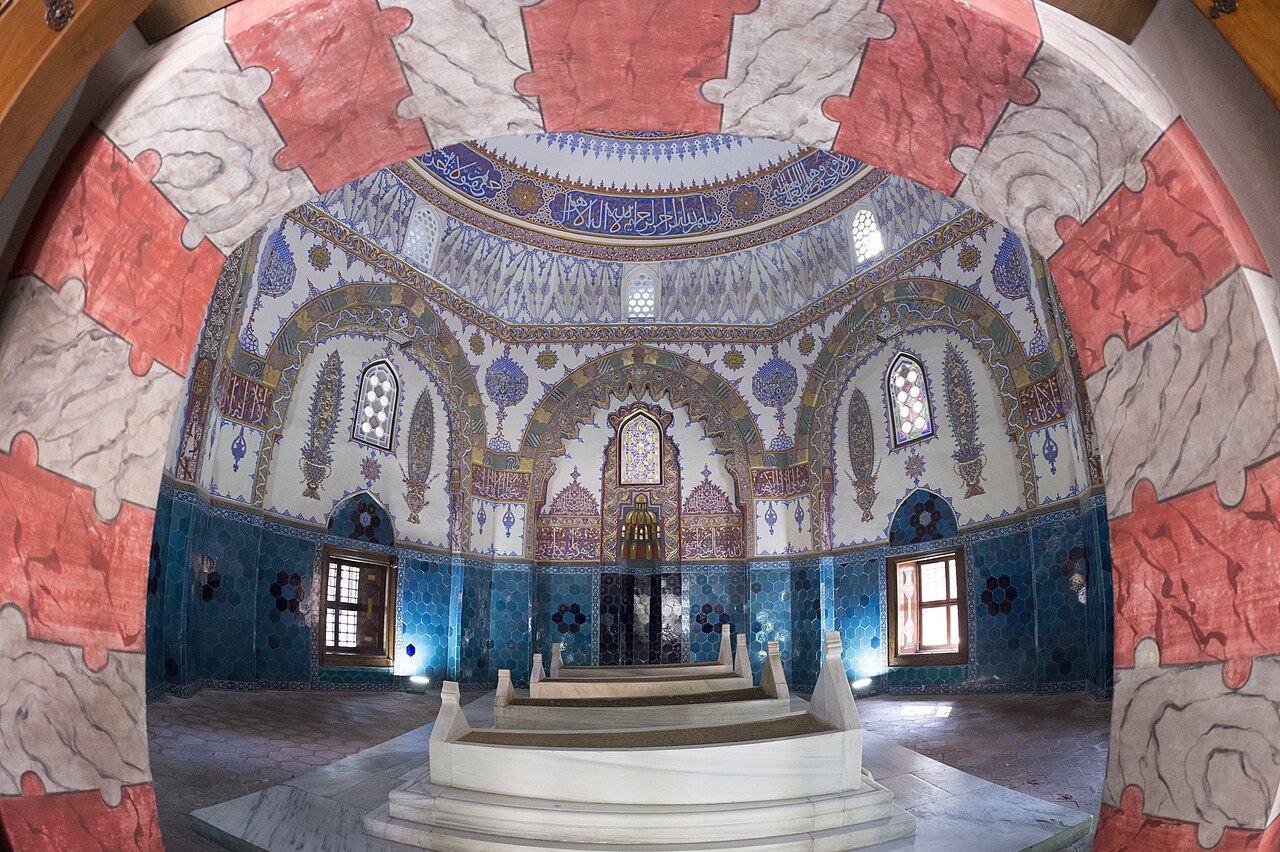
Cem Sultan Tomb in Bursa
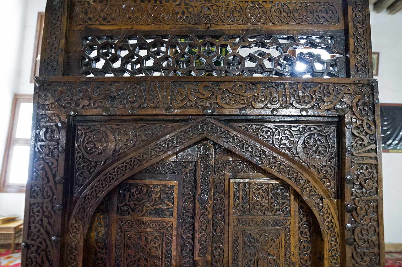
Sivrihisar Great Mosque
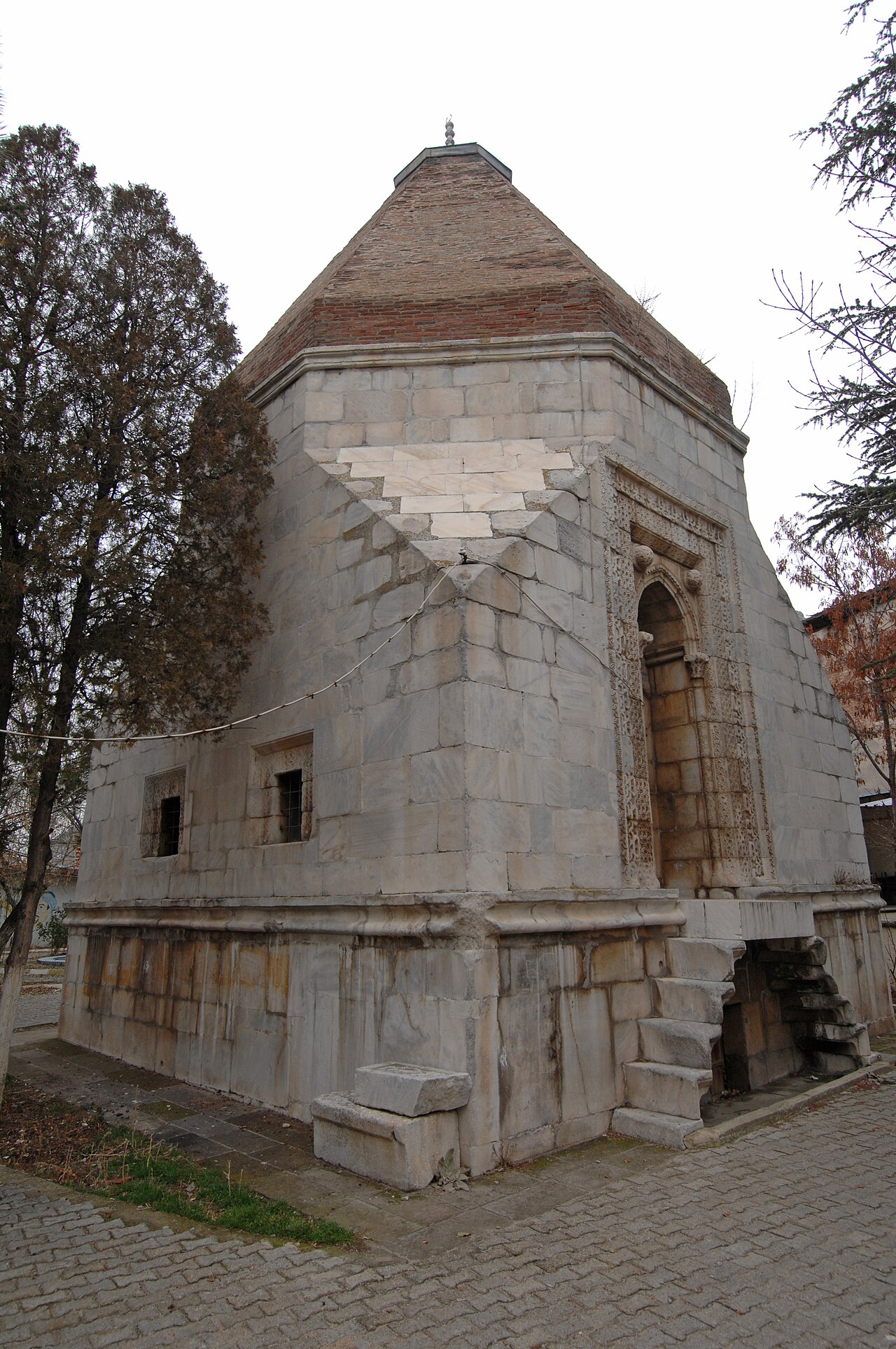
Âlemşah Dome in Sivrihisar: A Marble-Clad Ilkhanid Monument with Fish Relief
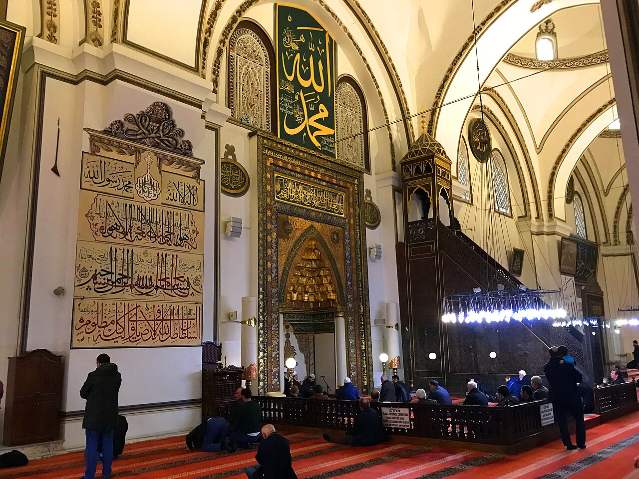
Bursa Grand Mosque: A Testament of Early Ottoman Architecture
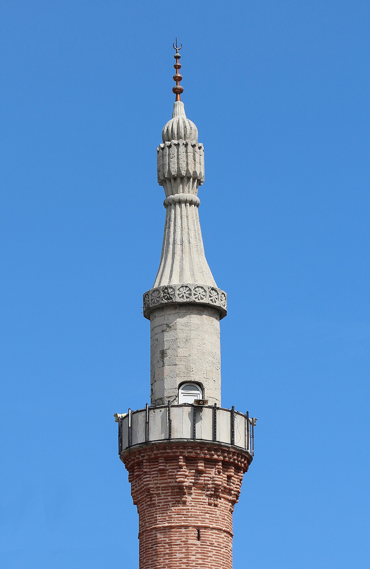
Bursa's Green Mosque: A Testament of Early Ottoman Architecture
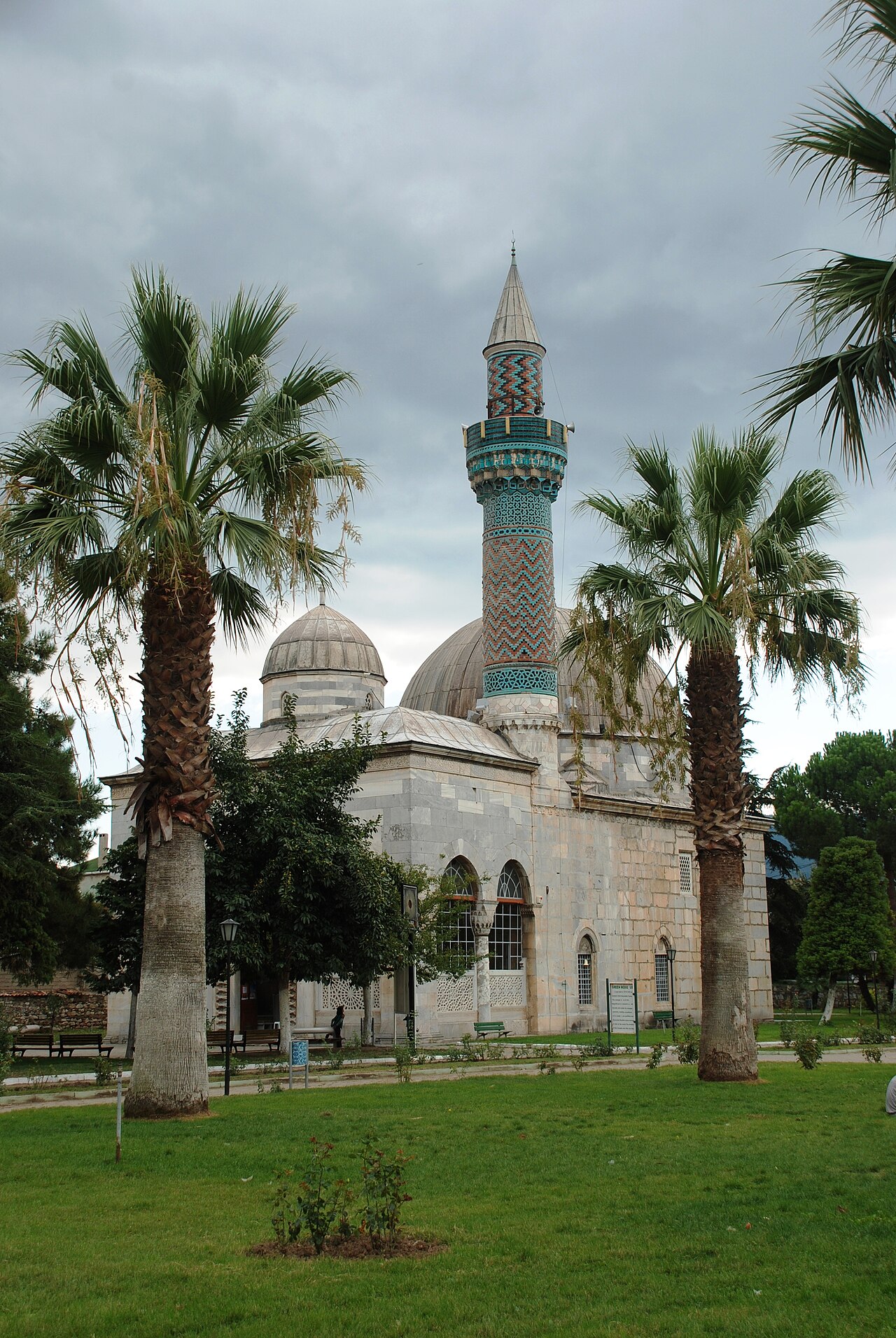
Iznik Green Mosque: Early Ottoman Heritage
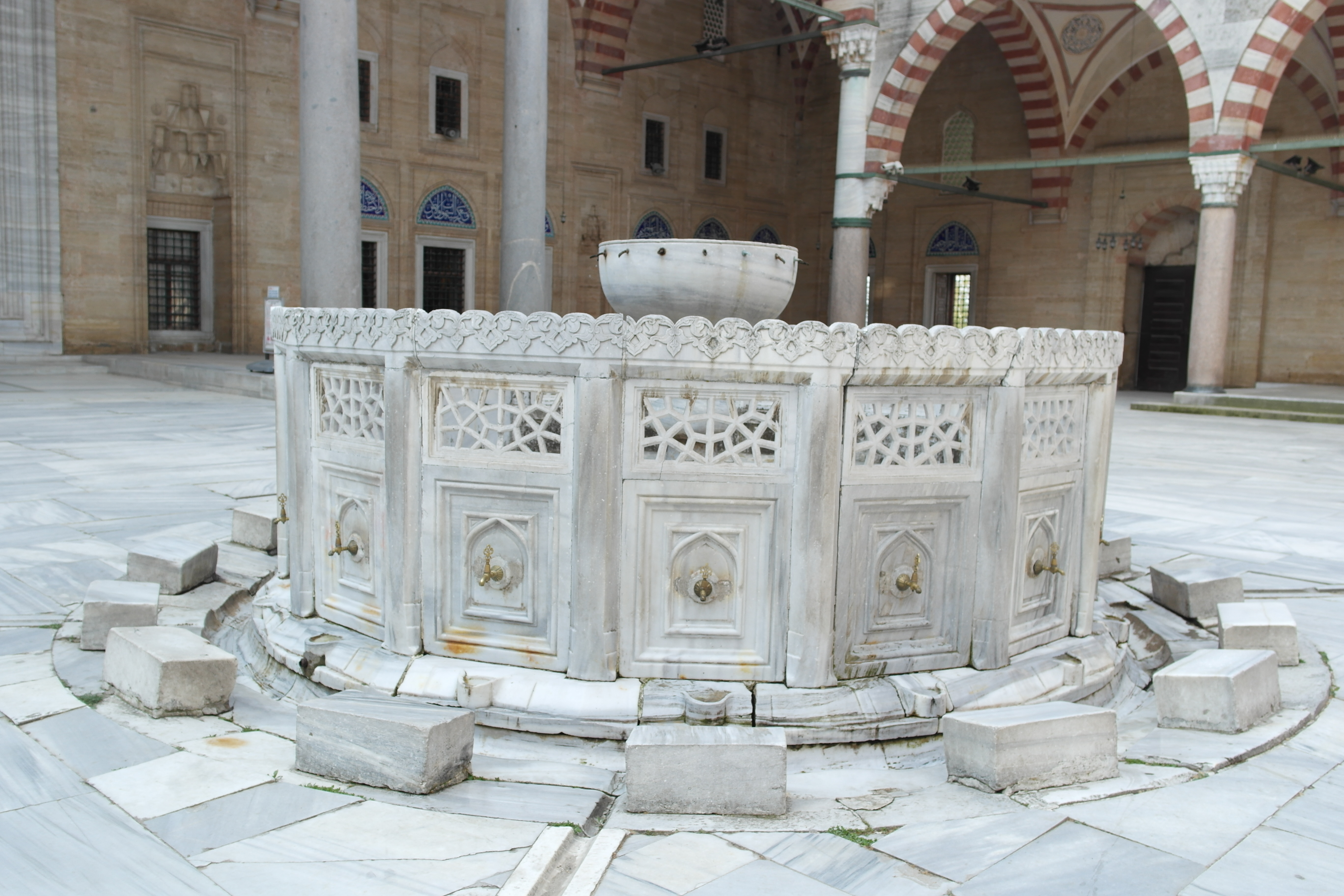
Selimiye Mosque and Complex: The Pinnacle of Classical Ottoman Architecture
This article is compiled from scholarly monographs and official architectural inventories. Please verify site access conditions, visiting hours, and ongoing conservation status via official heritage authorities prior to visiting.