

_-_Near_Kars_-_Turkey_(5812378318).jpg)
October 2026
Overview
- What: According to sources, it is a multi-layered historical settlement dating from the Iron Age, featuring defensive walls and various places of worship [1].
- Where: On an expansive plateau southeast of the city of Kars, perched on the edge of the Arpaçay canyon adjacent to the village of Ocaklı [1].
- Why it matters: It served as the capital of the Bagratid Kingdom, opened the gates of Anatolia to the Turks with its conquest in 1064, and is inscribed as a UNESCO World Heritage site [1].
A traveler heading eastward from Kars encounters an expansive valley bearing traces of past eras upon reaching the banks of the Arpaçay [1]. Flanked on two sides by a deep gorge, this plateau forms a naturally fortified domain [1]. For centuries, the region served as a crossroads for trade routes and diverse peoples [1]. Today, wind-swept ramparts and stone monuments lining the rim of the canyon reveal the striking silhouette of an ancient city [1].
This site is not merely a collection of stone buildings [1]. According to sources, it is one of the cultural basins in Eastern Anatolia that encompasses settlement phases spanning the Bronze and Iron Ages [1]. Over centuries, diverse faiths, dynasties, and master builders left their imprints side by side upon this rugged bedrock [1]. Integrated harmoniously with nature, this vast archaeological area rests upon a rocky plateau [3].
Now, let us examine the details of this ancient city more closely in light of written records and archaeological data found in the sources [1].
Where is it?
The Ani Archaeological Site is situated southeast of the provincial center of Kars in the Eastern Anatolia Region [1]. Sources provide varying figures regarding the settlement’s distance to the city center [2]. One publication cites this distance as 45 kilometers [2]. In contrast, another study explicitly states that the city lies 40 kilometers from the center of Kars [4].
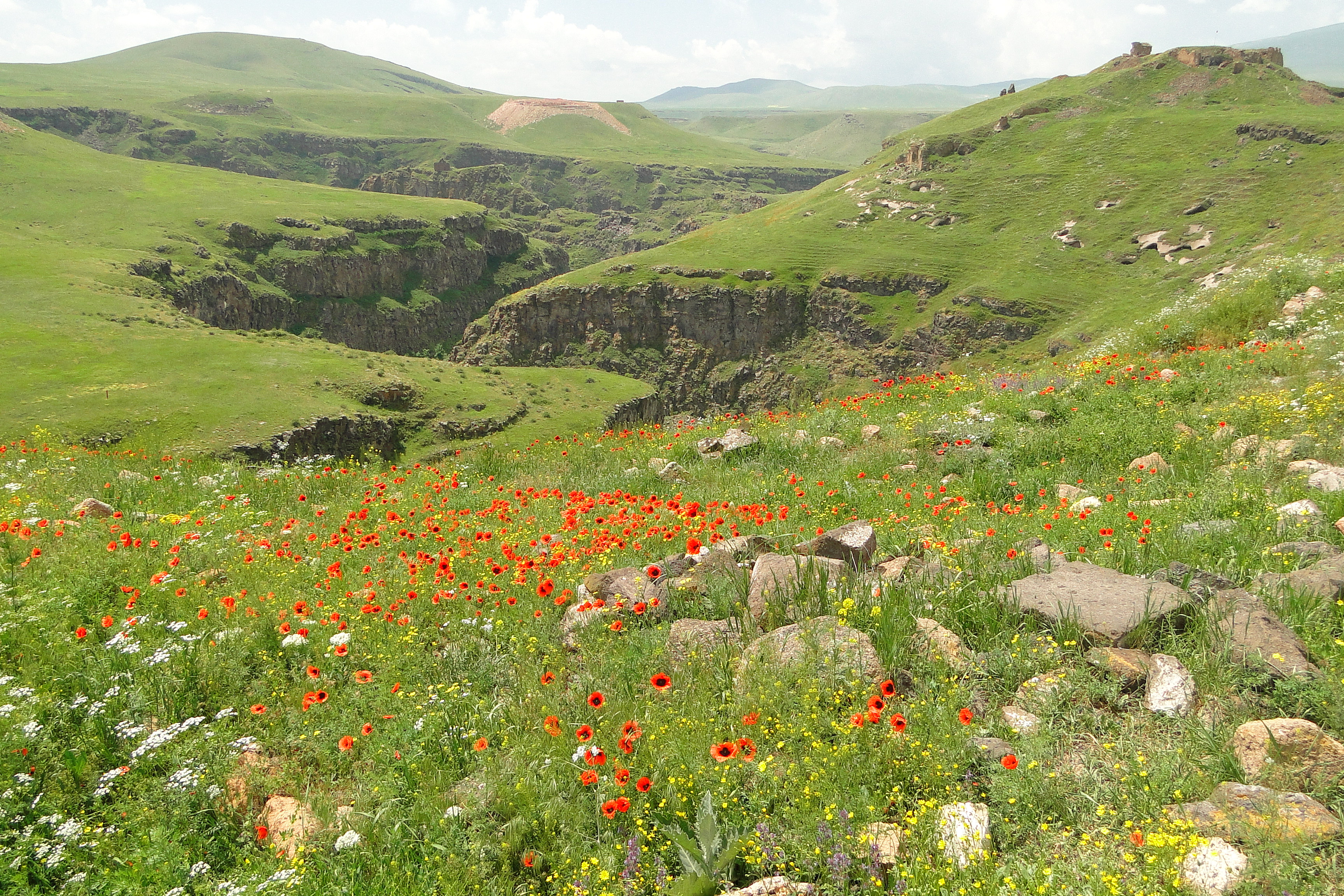
The terrain of the archaeological site sits upon a rocky plateau rising immediately adjacent to the Arpaçay and the boundary of the village of Ocaklı [2]. Its geographical coordinates are recorded in sources as 40 degrees 30 minutes North latitude and 43 degrees 34 minutes East longitude [1]. The urban terrain is flanked on two sides by the precipitous Arpaçay Canyon [1]. Throughout history, these sheer natural cliffs made a substantial contribution to the city’s defense [1].
Established on an expansive plateau, the settlement holds a defining position in the cultural tourism of Kars province as an urban image [3]. The site is inscribed on the UNESCO World Heritage List [1]. The registered core archaeological zone encompasses a total area of 250.7 hectares [1]. To visualize this scale, 250.7 hectares corresponds to a vast territory equivalent to roughly 350 standard football pitches placed side by side [1]. The protective buffer zone surrounding the historical city is registered in official records at 432.45 hectares [1]. This buffer zone constitutes a colossal peripheral belt roughly 600 football pitches in size [1].
The deep canyon valley carved by the Arpaçay served two vital functions for the city [1]. It established a natural boundary line while simultaneously creating a sheltered living domain [1]. This natural environment and canyon valley surround the historical architectural ensemble of the region [3]. According to sources, visitors encounter here a serene setting where history converges with the canyon’s natural landscape [3].
History & Origins
The known settlement history of Ani dates back to the Early Iron Age, between 1200 and 1000 BCE [1]. During the Urartian period, this region was known by the name Akhuriani [1]. It also hosted the local populations that inhabited this geography before the Urartians, namely the ancient tribal confederation of the Nairi [1]. Nairi is a historical designation given to indigenous peoples and tribal communities who lived across the Eastern Anatolian basin [1]. Archaeological excavations have unearthed remains of Bronze and Iron Age settlements [1]. In addition, remnants likely dating to the Urartian period have also been discovered [1].
The region first came under Armenian dominion during the 400s BCE [1]. At that time, rule was held by the Orontid Dynasty [1]. The name Ani appears for the first time in the fifth century CE [1]. These accounts feature in the writings of past chroniclers—the historiographers known as müverrih [1]. The term müverrih denotes a chronicler or historian who investigates and records past events [1]. These historians described the settlement as a formidable fortress erected upon a steep hill [1]. They also depicted the town as the private estate of the Kamsarakan dynasty [1].
In the sixth century, the fortress remained in the hands of the Gamsaragan lords [1]. The names Kamsarakan and Gamsaragan do not designate two separate families, but rather variant spellings of the same noble Armenian dynasty in historical sources [1]. Following prolonged struggles with the Bagratuni Dynasty, this fortified stronghold changed hands [1]. In 780, the Gamsaragan family sold their holdings to the Bagratids [1]. Following the transaction, the family chose to migrate into Byzantine territory [1]. Ashot I of the Bagratid dynasty was officially recognized as king in the year 885 [1]. Ashot’s kingship was confirmed by both the Abbasid Caliph and the Byzantine Emperor [1].
During this era, the ruler was conferred the title of Shahanshah-i Armen, meaning “King of Armenia” [1]. The word Shahanshah is of Persian origin and translates to “king of kings” [1]. In the political tradition of the period, regional hegemons such as the Abbasid Caliph could bestow such Persian titles upon Christian sovereigns who acknowledged their suzerainty as a mark of prestige and legitimacy [1]. Ashot, upon receiving the title, and his descendants relocated their administrative center across different cities over time [1]. The kings ruled successively from Bagaran, Shirakavan, and Kars before turning toward Ani [1]. In 961, Ashot III relocated the royal capital to Ani [1]. From that date forward, an extensive urban development campaign was launched in the city [1].
The city experienced its zenith during the reigns of Smbat II and his son Gagik [1]. This golden age spanned the years between 977 and 1020 [1]. Widespread historical traditions recount that the city’s population exceeded one hundred thousand people during this epoch [1]. However, this flourishing era was short-lived [1]. In 1045, the Byzantines captured the city, bringing a definitive end to the Bagratid state [1].
Under Byzantine administration, the city became vulnerable [1]. Subsequently, in 1064, the Seljuk Sultan Alp Arslan besieged the city [1]. As a result of this siege, Ani was conquered [1]. This conquest is considered the first and most pivotal step taken by the Turks into Anatolia [4]. Consequently, according to the cited source, it is regarded as a major turning point in Turkish history [4]. In 1964, the 900th anniversary of the conquest was even commemorated enthusiastically by the people of Kars [4]. These commemorations were conducted through grand open-air ceremonies [4].
Celebrations continued until the 1970s [4]. The ceremonies were held indoors during election periods at times, and through extensive programs in August 1966 [4]. Following the conquest, the Seljuks transferred the administration of the city to the Kurdish Shaddadid dynasty [1]. For a long time, the region served as the administrative center of this principality [1]. Taking into account both the pre-Islamic and post-Islamic eras, the city of Ani served as a center for Turkish khanates for nearly eight hundred years in total [4].
Around the year 1190, Zakare Mkhargrdzeli—a prominent commander and Georgian nobleman in the service of the Kingdom of Georgia—entered the stage [1]. Zakare Mkhargrdzeli utilized the citadel as a military base [1]. He thereby established a formidable dominion over the environs of Kars and Akhaltsikhe [1]. His descendants ruled with the title of atabeg [1]. These rulers maintained their existence under allegiance first to the Georgian kings, and subsequently to the Mongol Ilkhanate [1]. A significant portion of the Christian monuments in Ani was erected or extensively restored during this period of atabeg rule [1].
The city later passed under the rule of the Jalayirid and Qara Qoyunlu dynasties [1]. Yet, despite changing political administrations, the settled population remained predominantly Armenian [1]. The city suffered devastating damage during the catastrophic earthquake of 1319 [1]. Afterward, it was captured and devastated by the armies of Timur [1]. Despite all these devastations, a certain population continued to dwell in the city until the Ottoman–Persian War of 1535 [1].
The traveler Evliya Çelebi traversed the region in 1647 [4]. In his travelogue, Çelebi described it as a small and ruined fortress [4]. The exact date when the urban settlement was entirely abandoned and transformed into an archaeological ruin remains unknown [4].
As a consequence of the Russo-Turkish War of 1877–1878, the region passed into the governance of Tsarist Russia [1]. Following the First World War, Ottoman forces recaptured the city [1]. However, the plateau soon fell under the control of the newly established Republic of Armenia [1]. Ani was finally recaptured during the War of Independence in 1920 [1]. It was thus incorporated into the boundaries of the Republic of Turkey [1].
The initial excavations at the site were conducted between 1892 and 1918 under the administration of Tsarist Russia [1]. During the Republican era, Prof. Dr. Kılıç Kökten, Kemal Balkan, and Prof. Dr. Beyhan Karamağaralı directed archaeological field investigations [1]. Between 2006 and 2019, excavations were carried out under the directorship of the Kars Museum [1]. Since 2019, work has been led by Assoc. Prof. Dr. Muhammet Arslan on behalf of Kafkas University [1].
Architectural Form
In historical sources, Ani is frequently referred to by the epithets “the city of one thousand and one churches” or “the city of forty gates” [1]. The only expanse not bounded by the canyon is the northern plateau front [1]. This front is protected by robust defensive ramparts erected in the tenth century [1]. The main gate providing entry into the city is designated in historical records as the Lion Gate (Aslanlı Kapı) [1].
Following the Seljuk conquest, the damaged walls underwent extensive repairs [1]. New inscriptions were mounted upon the ramparts [1]. Relief stone carvings featuring motifs of lions, dragons, and double-headed eagles adorn the surfaces of these walls [1]. In the citadel walls, dressed spolia blocks cut in the classical manner are plainly visible [1]. The Turkish term used here for spolia (devşirme taş) is unrelated to the Ottoman devshirme levy system; it is strictly an architectural term [1]. In architecture, spolia refers to repurposed stone blocks salvaged from demolished or abandoned structures of earlier eras and reused in new constructions [1].
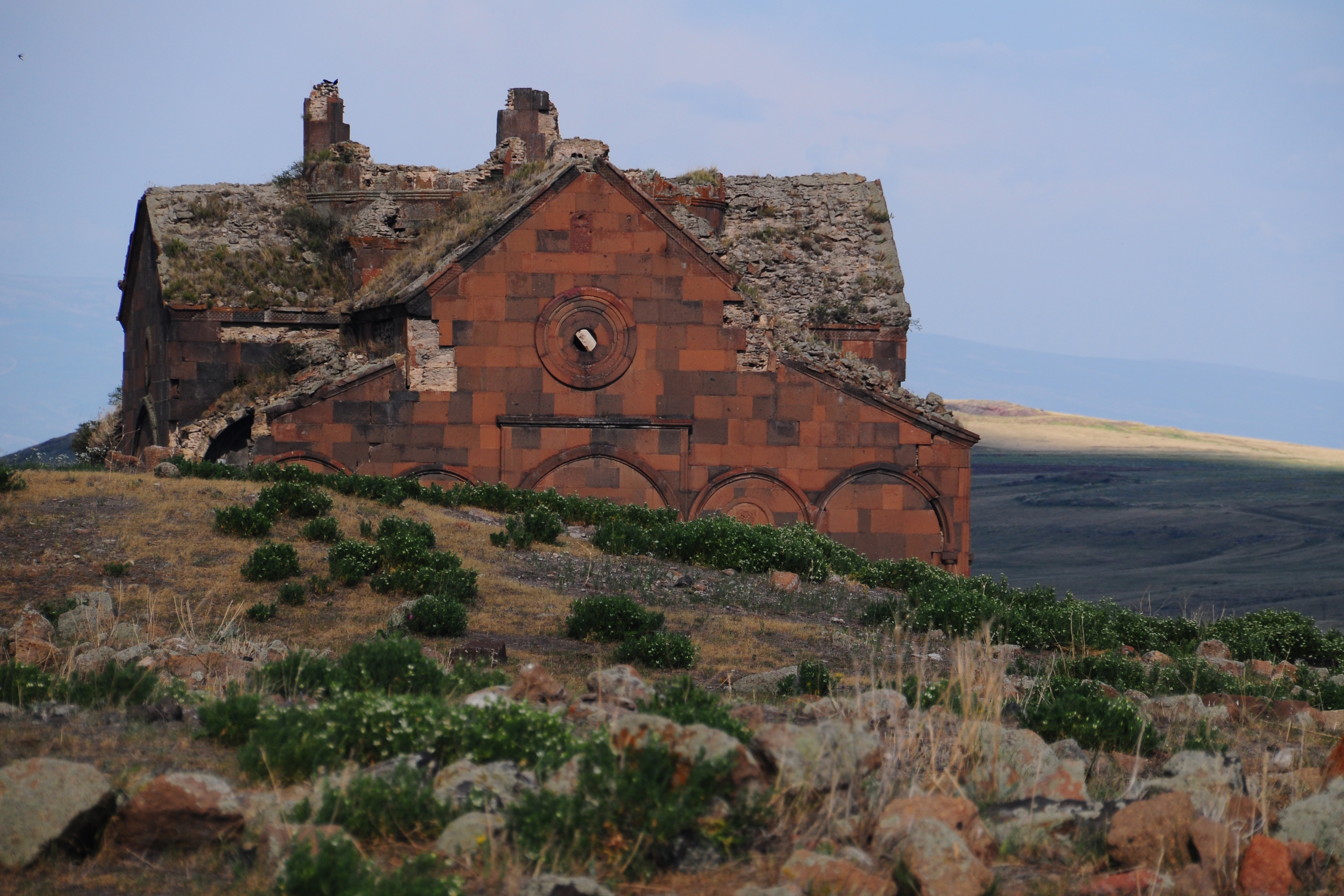
The citadel also preserves the vestige of a fire temple belonging to ancient faiths [1]. An ateshgah (fire temple) refers to a sanctuary in Zoroastrianism—the pre-Islamic ancient Iranian religion—where the sacred flame was kept continually burning and rituals were performed [1]. Today, aside from the city walls, around eight churches and a mosque are the most significant surviving structures at the archaeological site [1]. In addition, the Cathedral, dedicated to the Virgin Mary (Meryemana), stands as one of the most magnificent surviving monuments of the city [1].
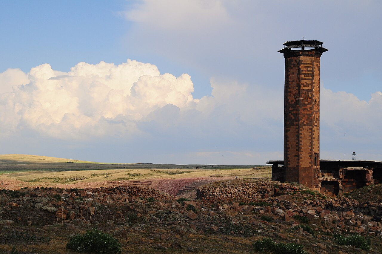
The most significant Islamic monument in Ani, the Mosque of Minuchihr (Ebu’l Menuçehr Camii), was commissioned in 1072 [1]. The Shaddadid emir Minuchihr had the edifice constructed [1]. According to researchers, this monument ranks among the earliest examples of Turkish and Islamic architecture across the Anatolian landscape [1]. Its ceilings and windows exhibit original ornamental details that reflect the exquisite stonework of the era [1].
Beneath the archaeological site lies an extraordinarily intriguing underground city [1]. The discovery of this subterranean complex dates back to the 1880s [1]. Carved directly into the rock, this subterranean settlement comprises exactly eight hundred and twenty-three structures and caves [1]. This expansive ensemble of historic monuments renders Ani a peerless cultural heritage landscape [3].
Harita
Harita: © OpenStreetMap katkıcıları. Bu yazıda anılan bazı yapılar ve kendi yazıları:
Visiting Notes
Travelers planning to visit the Ani Archaeological Site must take local weather conditions and road status into consideration in advance [2]. Heavy snowfall, icy road conditions, and severe sub-zero cold can occur in the region during the winter season [2]. Visitors are advised to confirm with competent authorities whether access roads are open before setting out [2].
Departing from Kars city center, vehicular travel takes roughly forty-five minutes to an hour depending on road conditions [2]. The source texts contain no information regarding public transportation options, entrance fees, or museum pass validity [1]. Current visiting hours, holiday closures, and admission terms must be verified through official sources prior to visiting.
The sources likewise provide no data concerning on-site guide services, visitor amenities, or parking facilities [1]. Because exploring involves walking among ruins dispersed across an expansive terrain, warm clothing should be preferred in winter [2]. Visitors traveling to the area are encouraged to cross-check all practical information with the official announcements of the Kars Provincial Directorate of Culture and Tourism.
References
- [1] Ani - Vikipedi, https://tr.wikipedia.org/wiki/Ani
- [2] ANİ HARABELERİ ve FETİH CAMİİ — Akif Yiğitbaş (2014, DergiPark (Istanbul University)), https://dergipark.org.tr/tr/pub/atdd/issue/28225/299697
- [3] Ani Ören Yeri’nin Kars’taki Kültür Turizmine Katkıları Bağlamında Bazı Tespitler — Hasan Ali DİKEN (2020, DergiPark (Istanbul University)), https://dergipark.org.tr/tr/pub/jator/issue/58969/818817
- [4] Anı Şehri’nin Doğuş ve Karseli Dergilerine Yansıyan Yüzü — Arzu Boy (2019, Tarih okulu), https://doi.org/10.29228/joh.24689
Stops along the Route (6)
Ani: A Medieval City of Ancient Heritage
Ani Menuchir Mosque: A Historic Monument in Kars
Kars Castle and Havariler Church: Historic Pillars of Central Kars
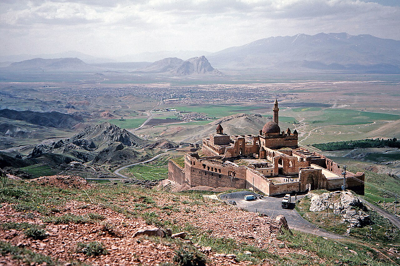
Ishak Pasha Palace: A Rising Stone Complex in Doğubayazıt
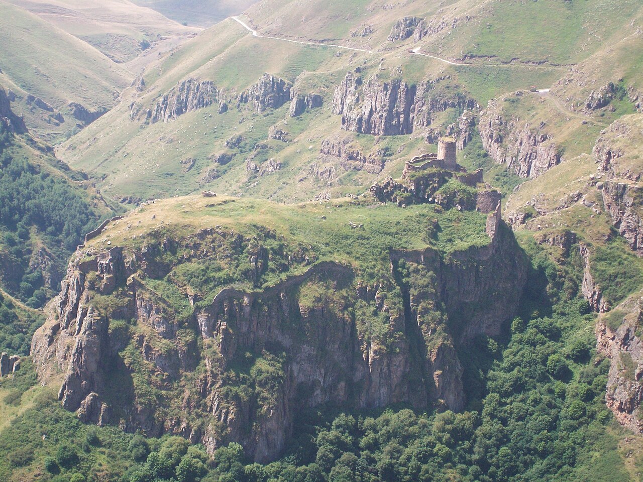
Devil's Castle: Medieval Fortress of Çıldır
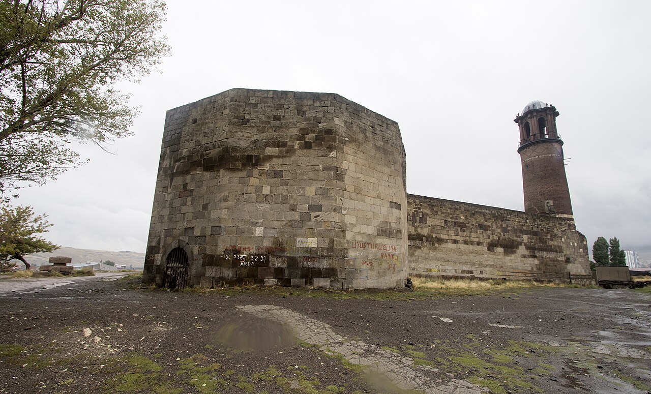
Erzurum Castle and Clock Tower: A Historical Architecture Guide
This article is compiled from scholarly monographs and official architectural inventories. Please verify site access conditions, visiting hours, and ongoing conservation status via official heritage authorities prior to visiting.