


October 2026
Overview
- What: The western section of the Lycian Way—Turkey’s first long-distance trekking route—measures approximately 184 km in length [3].
- Where: It begins in the village of Ovacık (or Hisarönü) in the Fethiye district of Muğla and extends to the district of Kaş in Antalya [3].
- Why it matters: It forms a cultural and natural corridor connecting ancient Lycian cities, rock-cut tombs, traditional villages, and the Mediterranean coastline [1][2].
This section is characterized by the rugged terrain of the Teke Peninsula, pine forests, rocky passes, and ancient stone-paved trails [2][3].
Hikers planning either a short excursion or an extended trek frequently choose this 184 km western segment over the full 760 km Lycian Way [3]. This choice is driven by the route’s greater logistical accessibility and its high concentration of cultural landmarks [3].
Where is it?
The Lycian Way is an extensive hiking route set across southwestern Turkey, traversing the southern slopes of the Western Taurus Mountains within the Teke Peninsula [1]. The trail lies entirely within the borders of the Muğla and Antalya provinces [1].
Note that sources cite varying figures regarding the total length of the route:
- Several sources state that the full network spans approximately 760 km [1][2].
- Another source indicates that the planned main itinerary measures around 450 km [5].
- An earlier recorded measurement stands at 520 km [1].
These discrepancies stem from revisions during the route’s planning phases, supplementary side trails, and differing measurement methodologies.
The western half begins at Ovacık (Hisarönü) and proceeds to Kaş [1][3]. Ascending from the foothills of Babadağ, the trail links the villages of Faralya, Kabak Bay, and Alınca [3][6]. It then traverses the ridges of Yediburunlar (Gey), Bel, and Gavurağılı, reaching the basin of the ancient Lycian cities of Letoon, Xanthos, and Patara [3][4].
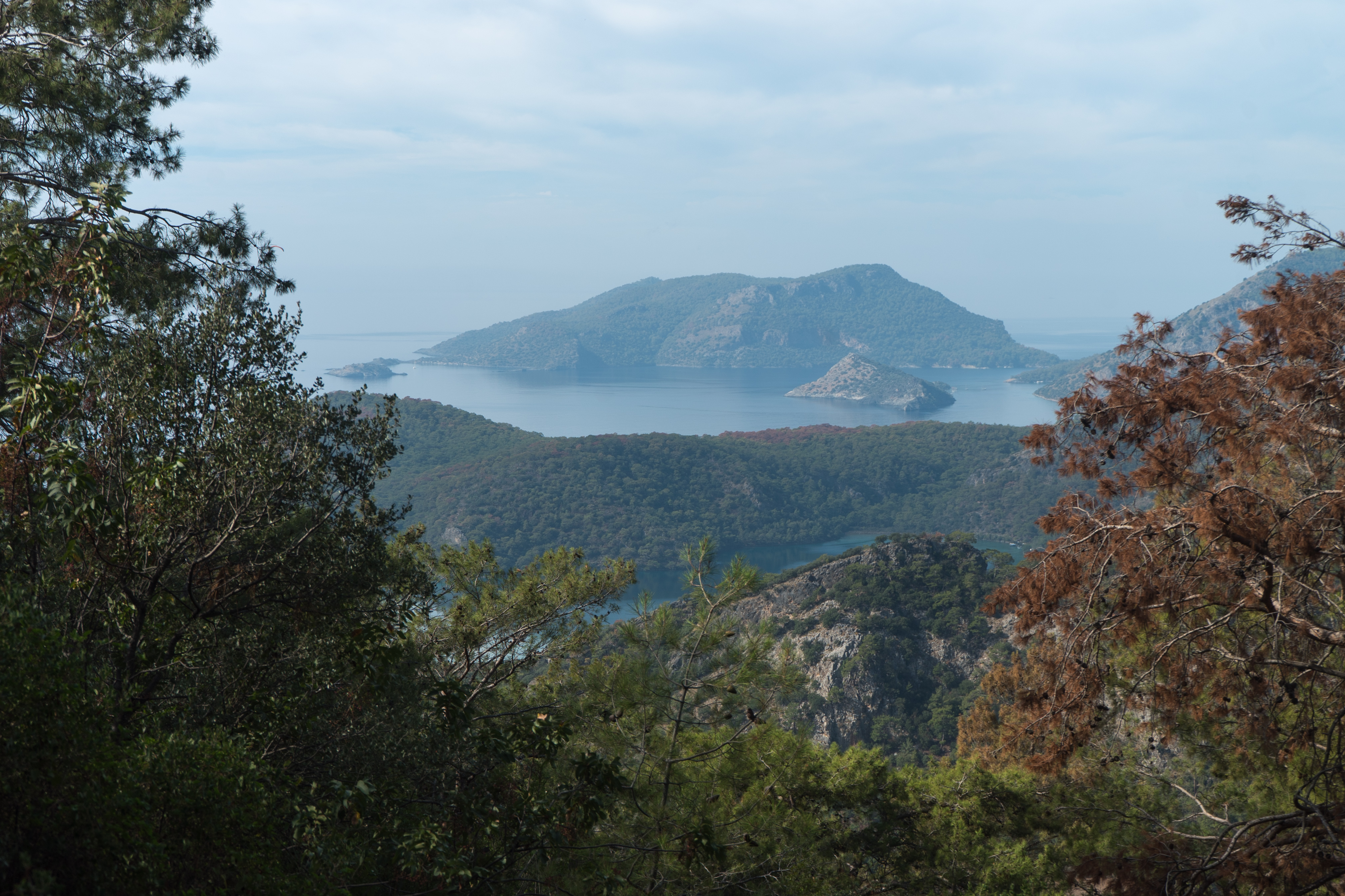
The final segment winds through mountain villages via Akbel, Kalkan, and Bezirgan, terminating on the coast at Kaş [3]. Elevations typically range between 700 and 1,000 m [3], offering trekkers dramatic vistas of both deep canyons and the coastal cliffs where the Mediterranean and Aegean seas meet [2][3].
History & Origins
The region of Lycia has been known since the Late Bronze Age as the homeland of an indigenous culture [1]. Engaging in maritime commerce and piracy, this population founded independent city-states along the Mediterranean coast [1]. Cities including Xanthos, Patara, Myra, Pınara, Tlos, Olympos, and Phaselis banded together to establish a federation known as the Lycian League, regarded historically as one of the earliest democratic federations [2].
Over the centuries, the region came under the dominion of the Persian, Ancient Greek, Roman, Byzantine, Seljuk, and Ottoman empires [1]. In antiquity, stone-paved roads linking these cities were utilized for trade, communication, and military deployment [2]. Monumental rock-cut tombs (sarcophagi) carved into rocky cliff faces represent the most tangible surviving monuments of this ancient civilization [1].
The foundations of the modern Lycian Way were established by the British traveler and author Kate Clow [1][2]. Clow surveyed and mapped the ancient pathways, officially waymarking the route in the late 1990s alongside volunteers and with the sponsorship of Garanti Bank [1][2]. This effort brought into being Turkey’s first official long-distance hiking trail [2].
Architectural Form
The western stage is a rich open-air landscape where natural paths and ancient architectural ruins meet [1][2]. The terrain is predominantly rocky, stony, and uneven [4]. Ancient stone-paved roads demonstrate classical engineering techniques and the enduring use of limestone blocks [1][2].
The term limestone rock-cut façade architecture designates tombs hewn directly into vertical cliff walls with prominently sculpted front elevations. Typically situated on steep slopes, these tombs reflect the funerary rituals of the ancient world [1].
Within the urban settlements, monumental sarcophagi (stone tombs) are prominent, highlighting the stone-carving mastery of the Lycian people [1].
Notable settlements and architectural monuments include:
- Kayaköy – Adjacent to the ridges of Ovacık, this settlement consists of roughly 500 stone houses abandoned following the 1923 population exchange. The village ruins are listed under UNESCO preservation [3].
- Patara – An ancient city featuring an 18 km sandy beach alongside the remains of an ancient harbor [3].
- Delikkemer Aqueduct – Situated between Patara and Kalkan, this monument is a siphon pipeline engineering work constructed with mortar and stone blocks to transport water to the ancient metropolis. The structure consists of a series of stone arches and stone conduit blocks that direct water from one channel to another, utilizing inverted siphon principles to maintain gravity-driven flow [3].
- Letoon and Xanthos – Sites housing ancient temple remains, monumental inscriptions, and theaters [1][2].
Waymarking System
The route’s waymarking follows the French Grande Randonnée (GR) standards. The GR system is widely used for long-distance trails across France, employing colored blazes and symbols to guide hikers. Along the Lycian Way, this system is applied as follows:
- Red and white stripes – Painted on rocks and tree trunks every 50 meters along footpaths. On unpaved dirt roads, this interval may extend up to 100 meters.
- The white stripe placed above the red stripe indicates the correct direction of travel.
- Red cross markings – These signify a wrong turn and indicate that a trail should not be followed.
- Directional signposts and cairns – At junctions and crossroads, yellow signposts and cairns (small stacks of stones) serve as navigational aids. Cairns are placed to indicate direction, particularly across treeless, exposed rocky expanses [1][2].
These trail markers are refreshed periodically by volunteers [1].
Visiting Notes
Best Time to Visit
According to sources, spring (March–May) and autumn (September–November) offer the most favorable hiking conditions, characterized by mild temperatures and low rainfall risk [1][2][5]. Another source notes that the hiking season may commence as early as February [5]. Summer months are not recommended, as temperatures can reach up to 40 °C [2][5].
Duration and Stages
- The 184 km western section can be completed in 11–14 days, averaging 15–25 km of walking per day [2][3].
- Walking the full Lycian Way (approximately 760 km) can require 35–45 days [2].
- Another source states that the core 23-stage itinerary can be completed in 25–33 days [5].
- For hikers with limited time, shorter itineraries of 2, 3, or 7 days (such as the slopes of Babadağ, Faralya, and Kabak Bay) are also accessible [3][6].
Getting There
The nearest airports are Dalaman (~50 km to Fethiye) and Antalya (~200 km to Kaş) [2][3]. Trailheads and endpoints can be accessed from the airports via intercity buses, local dolmuş shuttles, and private transfers [2][3].
Accommodation
A variety of lodgings—including boutique hotels, guesthouses (pansiyon), village homes, bungalows, and designated campsites—are available along the western route [2][3]. Carrying a tent is not mandatory, as guesthouse accommodation is available at the end of each stage [3]. Additionally, suitable sites for wild camping exist along natural stretches [4].
Water and Navigation
Because the route regularly passes through rural villages, securing water is generally straightforward [4]. However, water sources may be limited on certain mountainous stretches, such as the steep ascent between Kabak and Alınca [5]. Trekkers can facilitate route-finding by carrying GPS devices and offline digital maps [2][5].
References
- [1] Lycian Way - Wikipedia, https://en.wikipedia.org/wiki/Lycian_Way
- [2] Likya Yolu Nedir? Likya Yolu Neden Bu Kadar Ünlü? | Antikkentler.net, https://antikkentler.net/likya-yolu
- [3] Western Lycian Way — Fethiye to Kaş Hiking Guide, Stages, Itineraries, https://lycianway.co.uk/western-route
- [4] Lycian Way Trial Sections [441] – Trekopedia, https://trekopedia.com/lycian-way-trial-sections-441/
- [5] Lycian Way Hiking Guide: Route Map & 23 Sections | Show Me Türkiye, https://showmeturkiye.com/trails/lycian-way
- [6] Lycian Way from Fethiye: best 2, 3, 5, 6 & 7-day routes | Ghost of Kaş, https://ghostofkas.com/guides/lycian-way-from-fethiye/
Konum
Harita: © OpenStreetMap katkıcıları. Haritada büyüt · Google Haritalar · Apple Haritalar
İşaret yaklaşık konumu gösterir; kesin konum için yerel kaynaklara bakın.
This article is compiled from scholarly monographs and official architectural inventories. Please verify site access conditions, visiting hours, and ongoing conservation status via official heritage authorities prior to visiting.